Collection: Bavaria
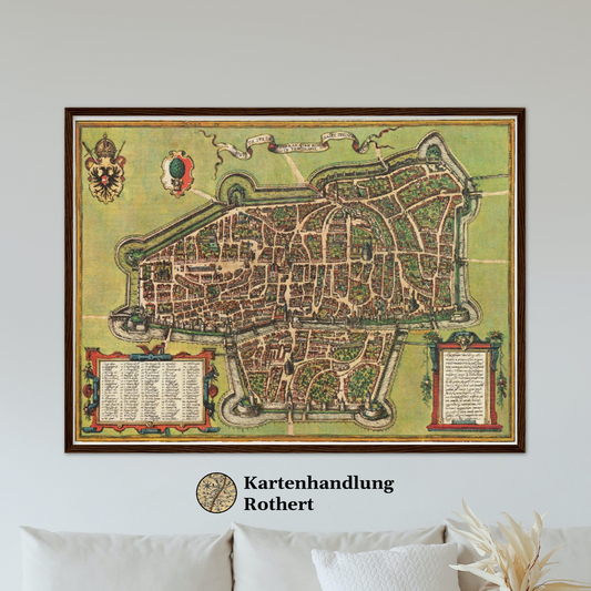
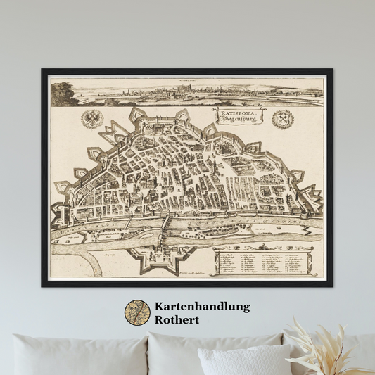
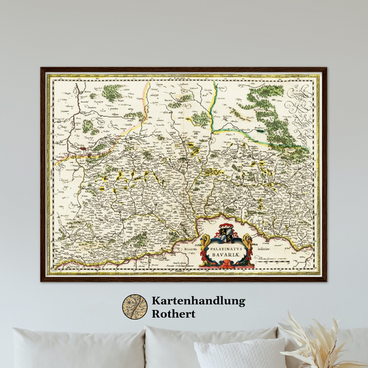
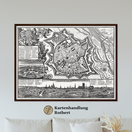
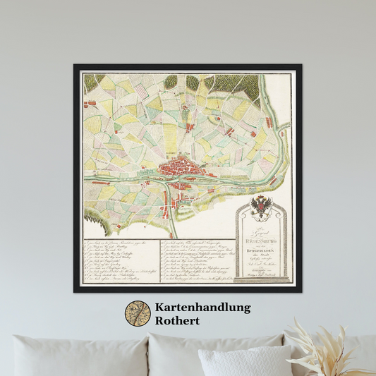
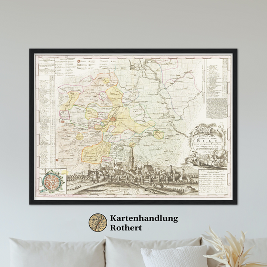
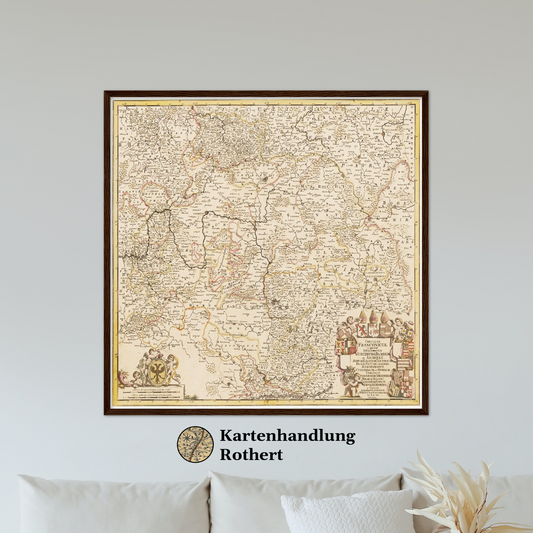
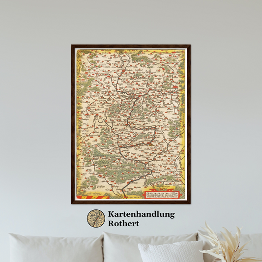
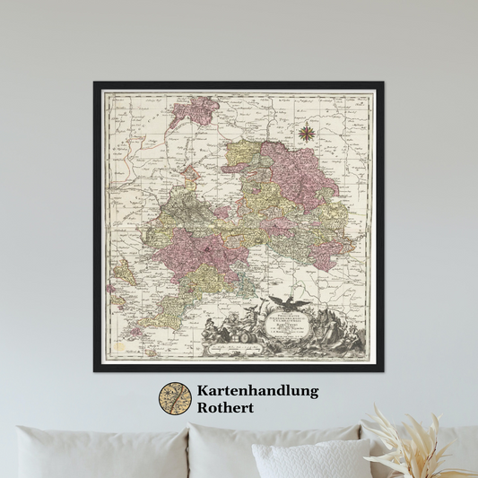
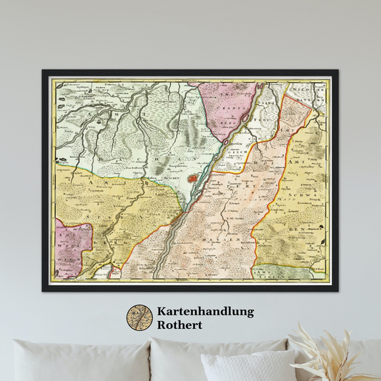
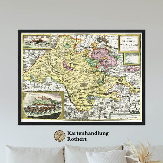
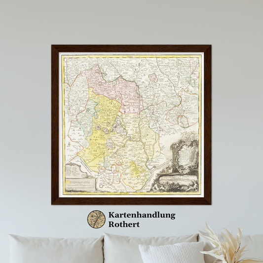
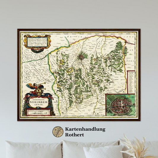
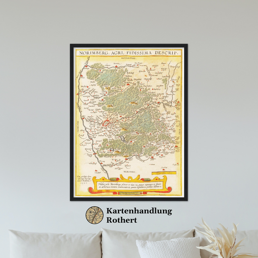
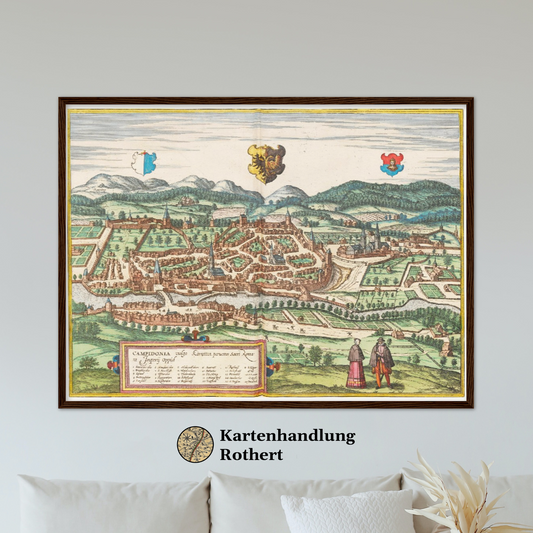
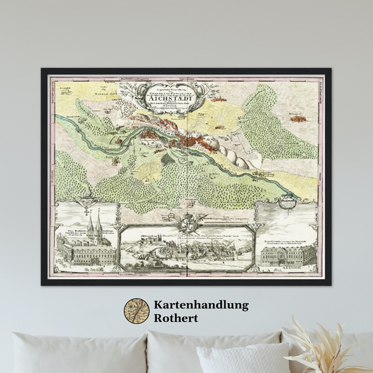
This category includes only historical maps, city plans and views of the state of Bavaria and the historical regions of Franconia, Upper Bavaria, Lower Bavaria and the Upper Palatinate as well as parts of the region of Swabia. Maps, city plans or city-views of the rest of the world are not included.
All our maps and city plans, as well as city views, are provided in different sizes. The high print quality applies to our whole assortment. In addition, the maps and plans of the various centuries and regions are available unframed as well as in a metal or wooden frame.
-
Historical city map Test product horizontal 3 sizes
4 Rahmungen (Holz & Metall)
3 Größen (40x30 - 80x60 cm)
Regular price From 38 €Regular price0 €Sale price From 38 € -
Historical city map Test product horizontal 3 sizes
4 Rahmungen (Holz & Metall)
2 Größen (40x30 - 60x45 cm)
Regular price From 33 €Regular price38 €Sale price From 33 €Sale -
Historical city map Test product horizontal 3 sizes
4 Rahmungen (Holz & Metall)
3 Größen (40x30 - 80x60 cm)
Regular price From 33 €Regular price38 €Sale price From 33 €Sale -
Historical city map Test product horizontal 3 sizes
4 Rahmungen (Holz & Metall)
3 Größen (40x30 - 80x60 cm)
Regular price From 33 €Regular price38 €Sale price From 33 €Sale -
Historical city map Test product horizontal 3 sizes
4 Rahmungen (Holz & Metall)
2 Größen (30x30 - 50x50 cm)
Regular price From 33 €Regular price38 €Sale price From 33 €Sale -
Historical city map Test product horizontal 3 sizes
4 Rahmungen (Holz & Metall)
2 Größen (40x30 - 60x45 cm)
Regular price From 33 €Regular price38 €Sale price From 33 €Sale -
Historical city map Test product horizontal 3 sizes
4 Rahmungen (Holz & Metall)
3 Größen (30x30 cm - 70x70 cm)
Regular price From 33 €Regular price38 €Sale price From 33 €Sale -
Historical city map Test product horizontal 3 sizes
4 Rahmungen (Holz & Metall)
2 Größen (30x40 - 45x60 cm)
Regular price From 33 €Regular price38 €Sale price From 33 €Sale -
Historical city map Test product horizontal 3 sizes
4 Rahmungen (Holz & Metall)
2 Größen (30x30 - 50x50 cm)
Regular price From 33 €Regular price38 €Sale price From 33 €Sale -
Historical city map Test product horizontal 3 sizes
4 Rahmungen (Holz & Metall)
1 Größe (40x30 cm)
Regular price From 33 €Regular price38 €Sale price From 33 €Sale -
Historical city map Test product horizontal 3 sizes
4 Rahmungen (Holz & Metall)
2 Größen (40x30 - 60x45 cm)
Regular price From 33 €Regular price38 €Sale price From 33 €Sale -
Historical city map Test product horizontal 3 sizes
4 Rahmungen (Holz & Metall)
2 Größen (40x30 - 60x45 cm)
Regular price From 33 €Regular price38 €Sale price From 33 €Sale -
Historical city map Test product horizontal 3 sizes
4 Rahmungen (Holz & Metall)
2 Größen (40x30 - 60x45 cm)
Regular price From 33 €Regular price38 €Sale price From 33 €Sale -
Historical city map Test product horizontal 3 sizes
4 Rahmungen (Holz & Metall)
1 Größe (30x30 cm)
Regular price From 33 €Regular price38 €Sale price From 33 €Sale -
Historical city map Test product horizontal 3 sizes
4 Rahmungen (Holz & Metall)
3 Größen (40x30 - 80x60 cm)
Regular price From 33 €Regular price38 €Sale price From 33 €Sale -
Historical city map Test product horizontal 3 sizes
4 Rahmungen (Holz & Metall)
2 Größen (30x40 - 45x60 cm)
Regular price From 33 €Regular price38 €Sale price From 33 €Sale -
Historical city map Test product horizontal 3 sizes
4 Rahmungen (Holz & Metall)
1 Größe (30x30 cm)
Regular price From 33 €Regular price38 €Sale price From 33 €Sale -
Historical city map Test product horizontal 3 sizes
4 Rahmungen (Holz & Metall)
2 Größen (40x30 - 60x45 cm)
Regular price From 33 €Regular price38 €Sale price From 33 €Sale -
Historical city map Test product horizontal 3 sizes
4 Rahmungen (Holz & Metall)
3 Größen (40x30 - 80x60 cm)
Regular price From 33 €Regular price38 €Sale price From 33 €Sale -
Historical city map Test product horizontal 3 sizes
4 Rahmungen (Holz & Metall)
3 Größen (40x30 - 80x60 cm)
Regular price From 33 €Regular price38 €Sale price From 33 €Sale -
Historical city map Test product horizontal 3 sizes
4 Rahmungen (Holz & Metall)
2 Größen (40x30 - 60x45 cm)
Regular price From 33 €Regular price38 €Sale price From 33 €Sale -
Historical city map Test product horizontal 3 sizes
4 Rahmungen (Holz & Metall)
3 Größen (40x30 - 80x60 cm)
Regular price From 33 €Regular price38 €Sale price From 33 €Sale -
Historical city map Test product horizontal 3 sizes
4 Rahmungen (Holz & Metall)
2 Größen (40x30 - 60x45 cm)
Regular price From 33 €Regular price38 €Sale price From 33 €Sale -
Historical city map Test product horizontal 3 sizes
4 Rahmungen (Holz & Metall)
1 Größe (40x30 cm)
Regular price From 33 €Regular price38 €Sale price From 33 €Sale

