Collections
-

Central Germany
This category includes only historical maps, city plans and views the area...
-
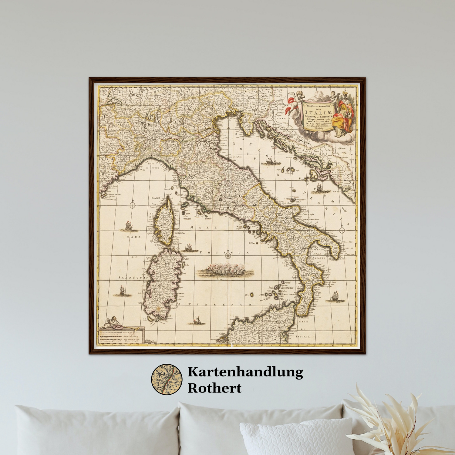
Country and regional maps
This category includes only historical maps of the world, continents, and countries...
-

East Germany
This category includes only historical maps, city plans and views of Eastern...
-

Hand-Atlas
This category includes only historical maps from the 1882 Hand Atlas. Maps,...
-

Lower Saxony
This category only includes historical maps, city plans and viewsof the German...
-

Luxembourg
This category includes only historical maps, city plans and views of Luxembourg...
-

Mecklenburg-Western Pomerania
This category includes only historical maps, city plans and views of the...
-

North Rhine-Westphalia
This category includes only historical plans, city plans and views of the...
-

Northern Germany
This category includes only historical maps, city maps and views of Northern...
-

Ostfriesland
Ostfriesland zeigt historische Karten, Stadtpläne und Ansichten einer einzigartigen Region an der...
-

Personalisierte Karten, Pläne & Ansichten
Personalisierte Karten, Pläne & Ansichten ermöglichen die individuelle Gestaltung historischer Motive nach...
-

Regions of Europe
This category includes only historical maps of Europe or regions or cities...
-

Regions worldwide
This category includes only historical maps of the world, continents, and countries...
-

Rest of the world
This category includes all historical maps, city maps and views of the...
-

Rest von Europa
est von Europa umfasst historische Karten, Stadtpläne und Ansichten europäischer Regionen außerhalb...
-

Rhineland-Palatinate
This category includes only historical maps, city plans and views of the...
-

Saxony-Anhalt
This category includes only historical maps, city plans and views of the...
-

Schleswig-Holstein
This category includes only historical maps, city plans and views of the...
-

The Netherlands
This category includes only historical maps, city plans and views of the...


